
Pampanga under a state of calamity due to August floods — 1.04 million residents affected, 20 towns and cities flooded except Mabalacat
📌 On August 12, the Pampanga Provincial Board declared a province-wide state of calamity due to flooding caused by the southwest monsoon (Habagat) and successive typhoons.
According to data from the Provincial Disaster Risk Reduction and Management Office as of August 31, 334 barangays and approximately 1,047,000 residents were affected, and out of the 21 cities and municipalities in the province, only the City of Mabalacat was not on the flooded list.
■ What Happened
· On August 12, the Provincial Board passed a resolution (Resolution No. 10524) during a special session declaring a province-wide state of calamity to swiftly release disaster funds for relief and recovery efforts.
· Damage at the time of declaration: 297 barangays across 17 towns and cities, approximately 860,000 residents, and 7,731 evacuees.
· On August 24, President Marcos received a briefing on the situation at the Pampanga Provincial Capitol in San Fernando and visited an evacuation center in Bacolor.
■ Scale of Damage (as of August 31)
· 334 barangays across 20 towns and cities flooded, affecting 326,907 families and 1,047,664 individuals.
· Approximately 4,622 families (17,300 individuals) staying in evacuation centers. 18 houses completely destroyed, 65 partially damaged.
· Agricultural and fisheries damage estimated at around 1.25 billion pesos (786 million for fisheries, 295.1 million for rice, etc.).
· Hard-hit areas: Southern low-lying towns such as Guagua, Macabebe, Apalit, Masantol, Candaba, and San Simon.
■ Situation in Angeles
· On August 28, heavy rain rendered several areas impassable to cars, including Santo Entierro Street (flooded to knee-deep levels), under the Cutcut flyover, Santo Cristo intersection, and parts of Pandan Road.
· On the same day, a 25-year-old man drowned after falling into a flooded open drainage canal along the Cutcut Friendship Highway.
■ Notes for Expats and Travelers
· When heavy rain hits Angeles, low-lying areas like the area under the Cutcut flyover and Santo Cristo intersection flood first. Please avoid these routes during heavy downpours.
· Flooded sidewalks and roads conceal hazards like open drainage canals and manholes beneath the water. Do not attempt to wade through them on foot.
· If you need to travel to southern Pampanga (Guagua, Macabebe, Candaba, etc.) or Bacolor, check road conditions via the official Facebook pages of the provincial or city governments before setting out.
■ Sources
DZRH (8/13), Punto! Central Luzon (8/12, 9/1), SunStar (8/20, 8/31), Manila Times (8/18), BusinessMirror (9/1), Presidential Communications Office (PCO)·Daily Tribune·Manila Bulletin (8/24), Inquirer (Angeles road flooding — 1 location confirmed)
■ Photos
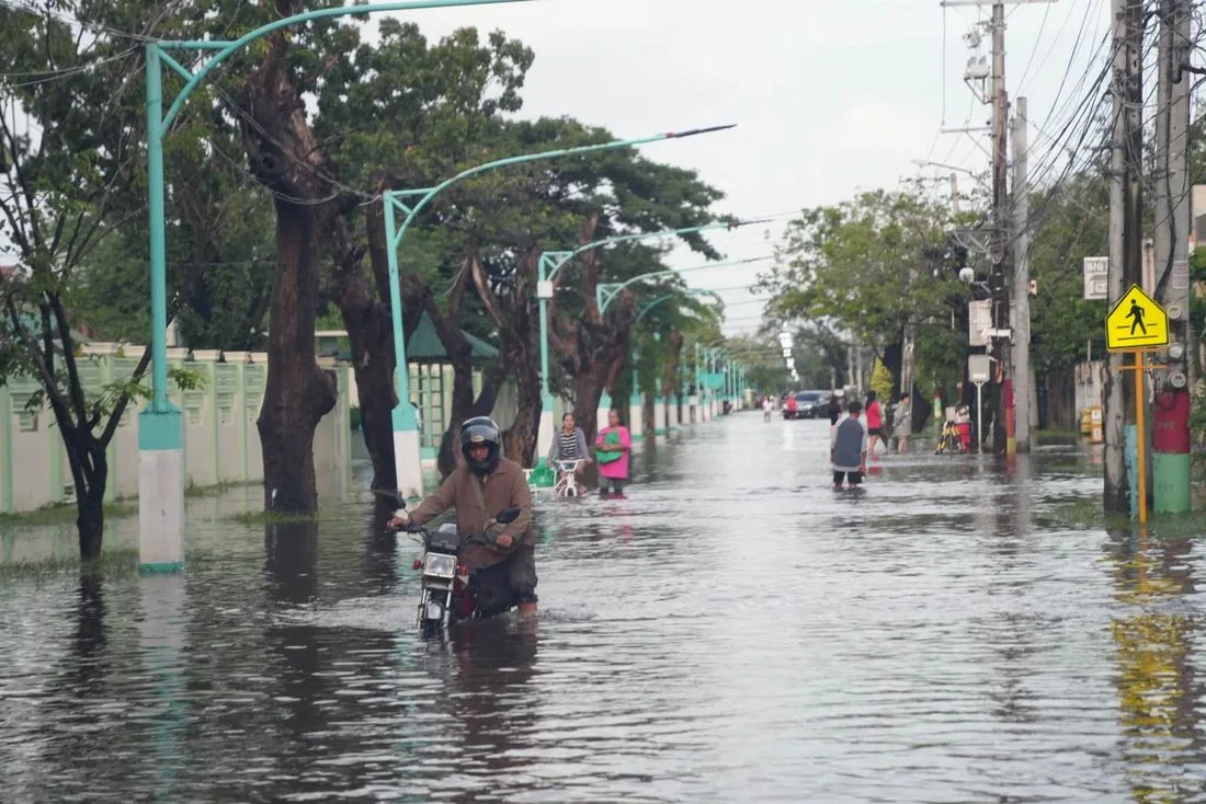
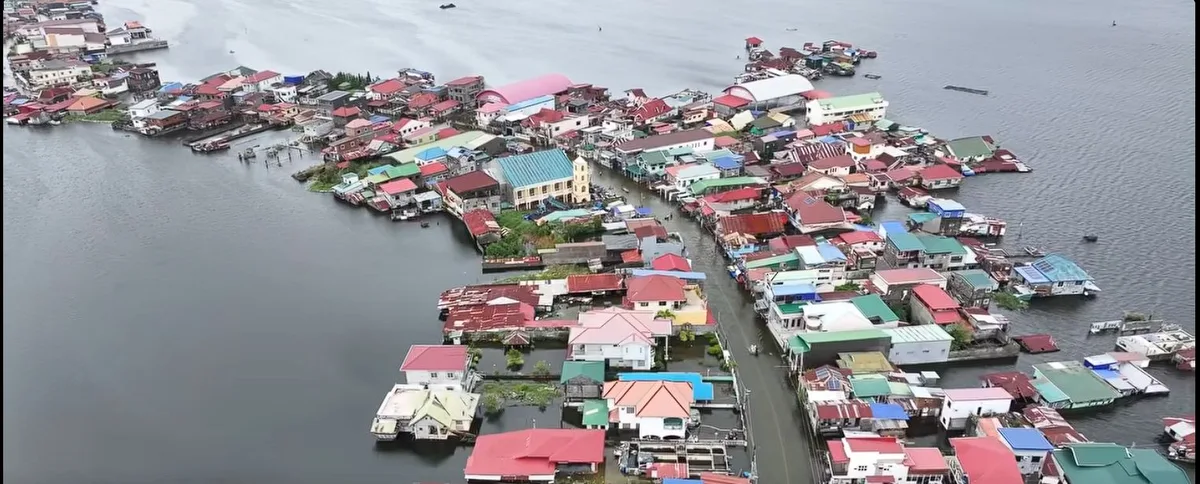
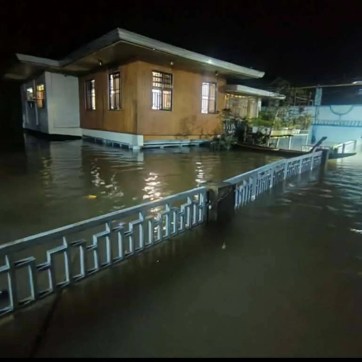
Residents riding a motorcycle through a flooded road in Pampanga (DZRH, provided by the Pampanga Provincial Government), aerial photo of a low-lying village surrounded by water (Punto!), buildings submerged overnight (Manila Times)


Comments 0
Please log into write a comment.